
Geomatics
Offering a wide array of geophysical, hydrographic, construction, and geotechnical support services, Cabaco Marine specializes in distinguishing and producing a comprehensive set of relevant geomatic data to suit our clients' project requirements. Through the use of some of the industry's most advanced technologies, Cabaco Marine's highly trained and experienced surveyors and geophysicists provide positioning and hydrographic information to oil and gas producers, telecommunications authorities, research teams, and offshore construction projects.
Some of the Geomatic services we offer include the following:
Exploration
- Rig Positioning
- Rig Hazard Site Surveys
- Pipeline and Submarine Cable Route Surveys
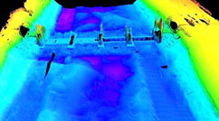
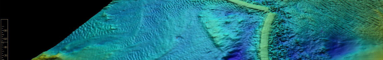
- Multibeam Echosounder (MBES) Surveys
Construction Support Services
- Deepwater Acoustic Positioning Services (LBL and USBL)
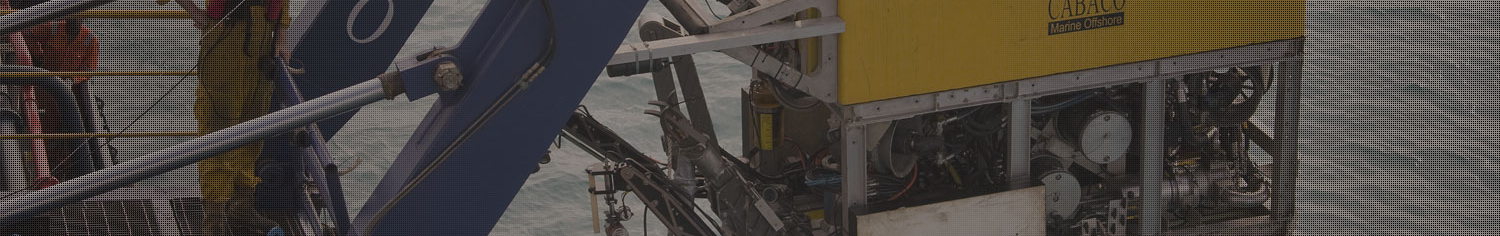
- ROV Survey Support Services
- Template, Structure and Pipeline Installations Positioning Services
- As-laid, As-built Surveys
- Out-of-Straightness (OOS) Surveys
- Metrology Surveys for Spool Fabrication
- Dimensional Control Surveys
- Dredging Support Services
Inspection, Repair & Maintenance
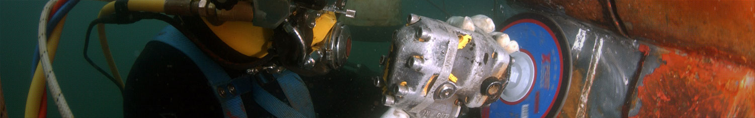
- Pipeline, Umbilical & Structures Inspections
- ROV Inspection Surveys
- Cathodic Protection Surveys
- Flooded Member Detection Surveys
General
- Hydrographic and Topographical Surveys
- DGPS Positioning Service
- Calibration Service
- Training – Hydrographic Surveying, Acoustics
Contact us